Trevola — Route Generator
A travel app that generates a real, navigable route of an exact distance inside the countries you pick — powered by a custom OSRM pathfinding pipeline, with interactive maps, trip planning, friends and group chat. Live on iOS and Google Play.
Anyone can draw a line on a map. Generating a real, navigable route of an exact distance inside a country's borders is a genuine algorithmic problem.
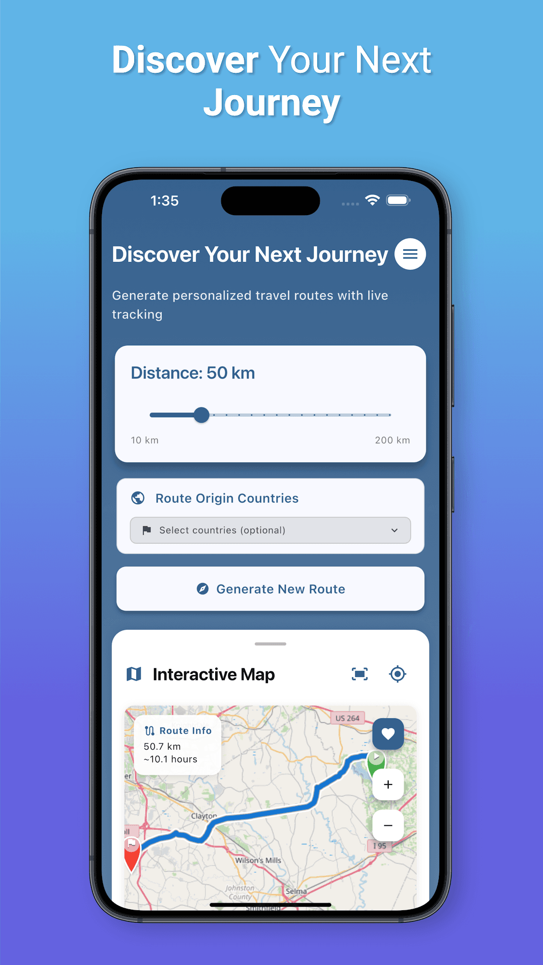
Trevola lets a user ask for, say, a 50 km cycling route inside chosen countries — and get back a real road-and-path route they can actually follow. That needs real geography, real routing, and an optimisation loop that lands within tolerance of the target distance.
The task: build the whole product in Flutter — the route-generation engine, an interactive OpenStreetMap experience with draggable markers, plus trip planning, friend invites and group chat — and ship it to both stores.
Geography & projection
Loaded real Natural Earth country boundaries and validated points with a ray-casting point-in-polygon test, then projected target endpoints with the Haversine destination formula at a random bearing.
OSRM routing & optimisation
Fed start/end points to OSRM (foot, bicycle, driving) for real routes, then ran an iterative optimisation loop — up to 20 attempts — that lengthens or shortens the path with a coefficient method until it lands within tolerance of the requested distance, streaming live progress to the UI.
Map, planning & social
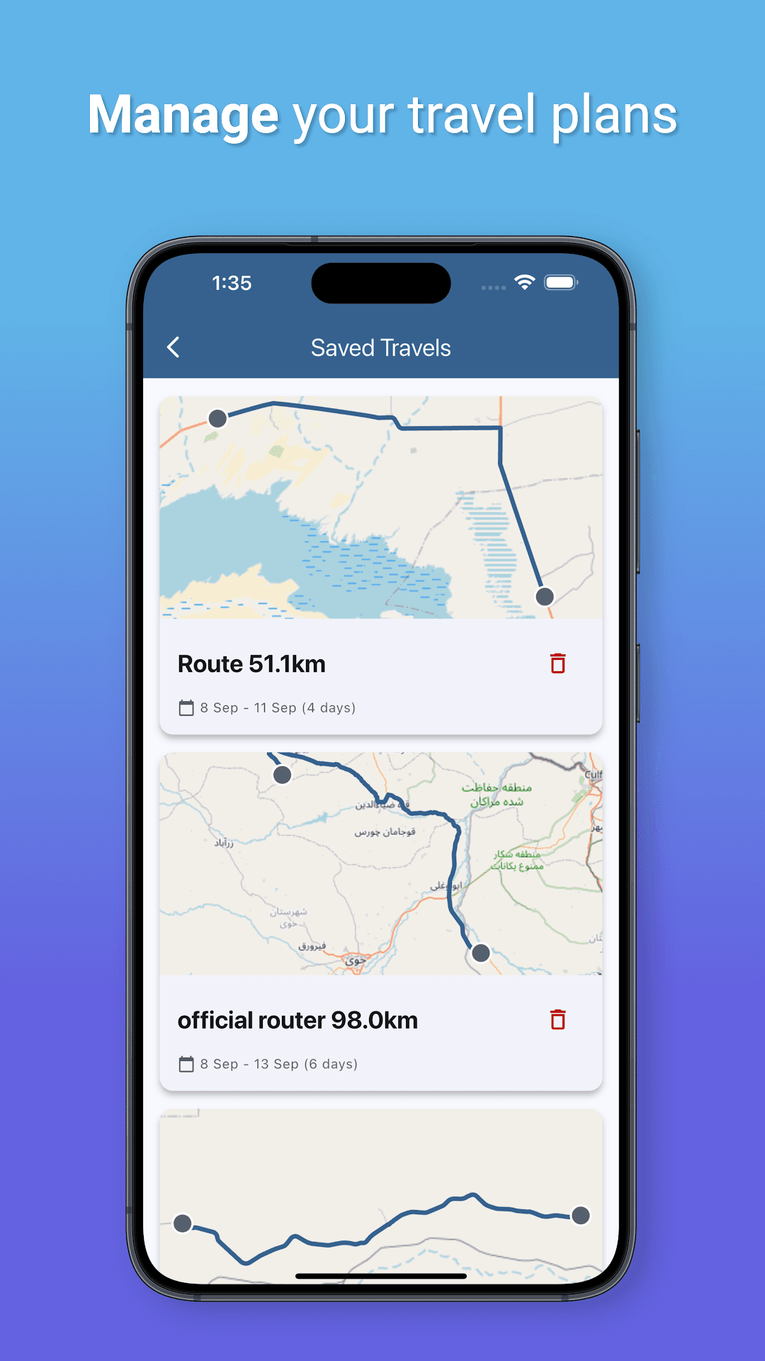
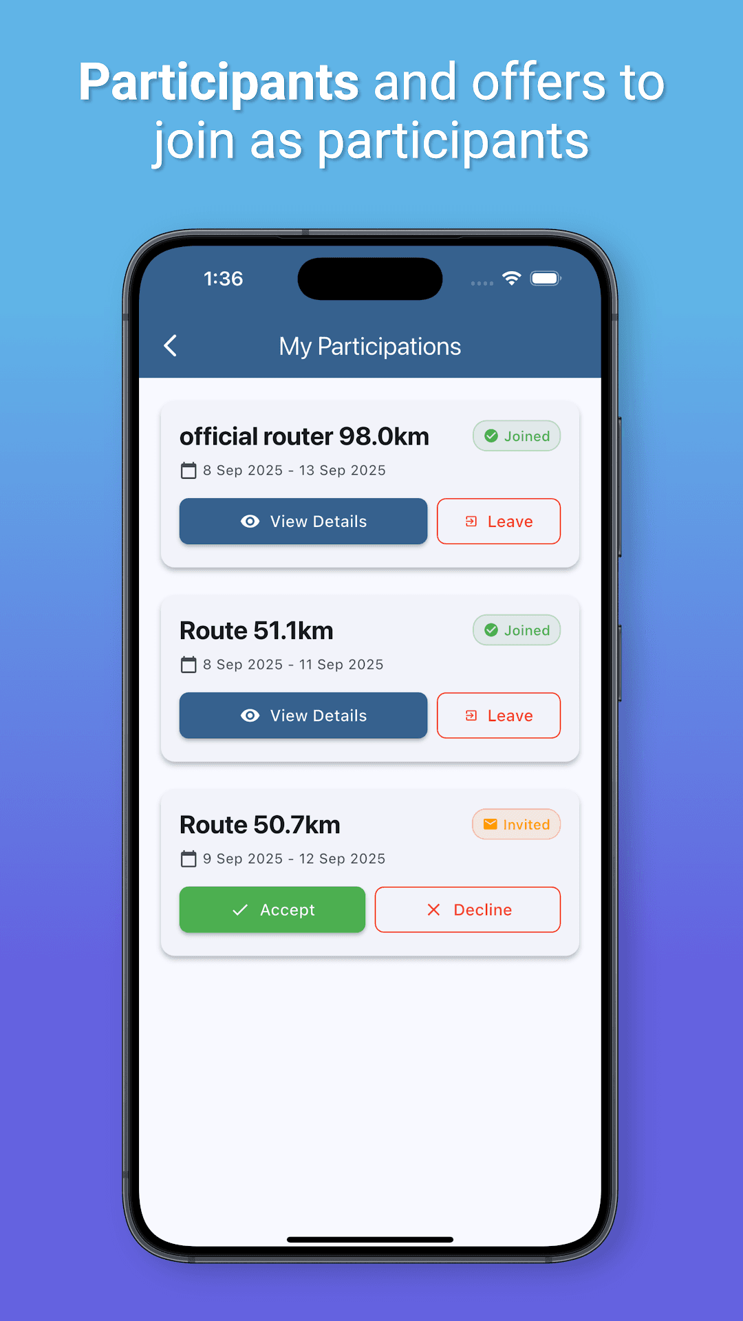
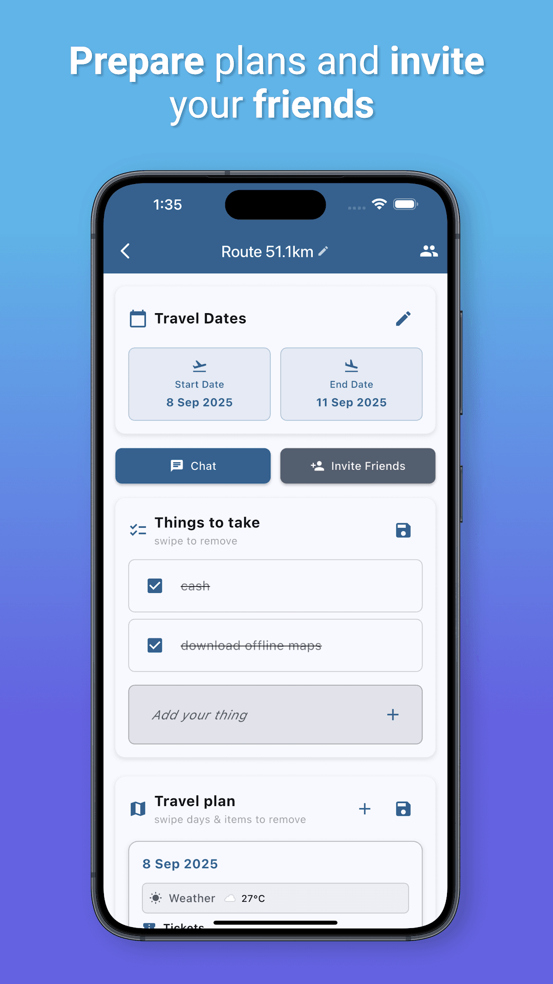
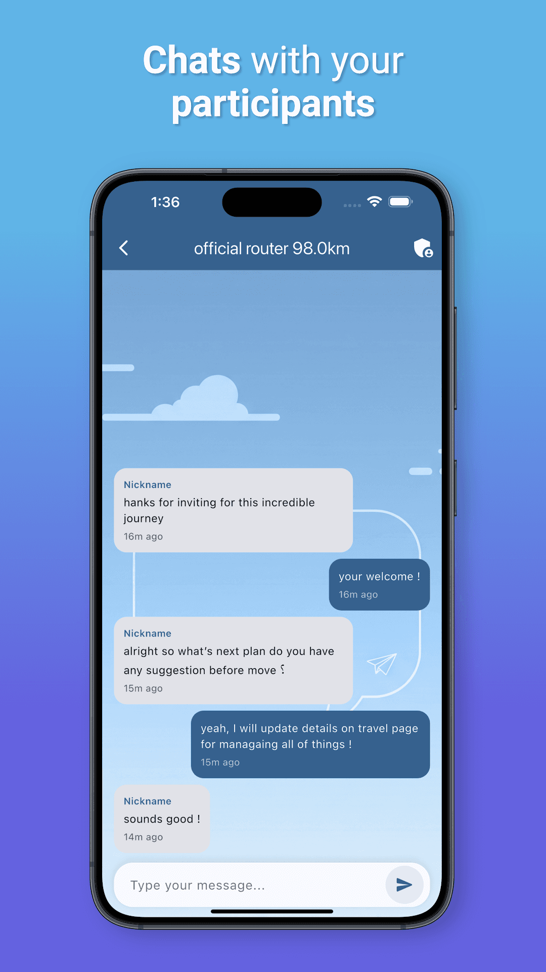
Built the interactive FlutterMap with draggable start/end markers that recalculate on drop, then layered on saved trips, per-day itineraries with weather, friend invites, participants, and realtime group chat — shipped to iOS and Google Play.